
-11%
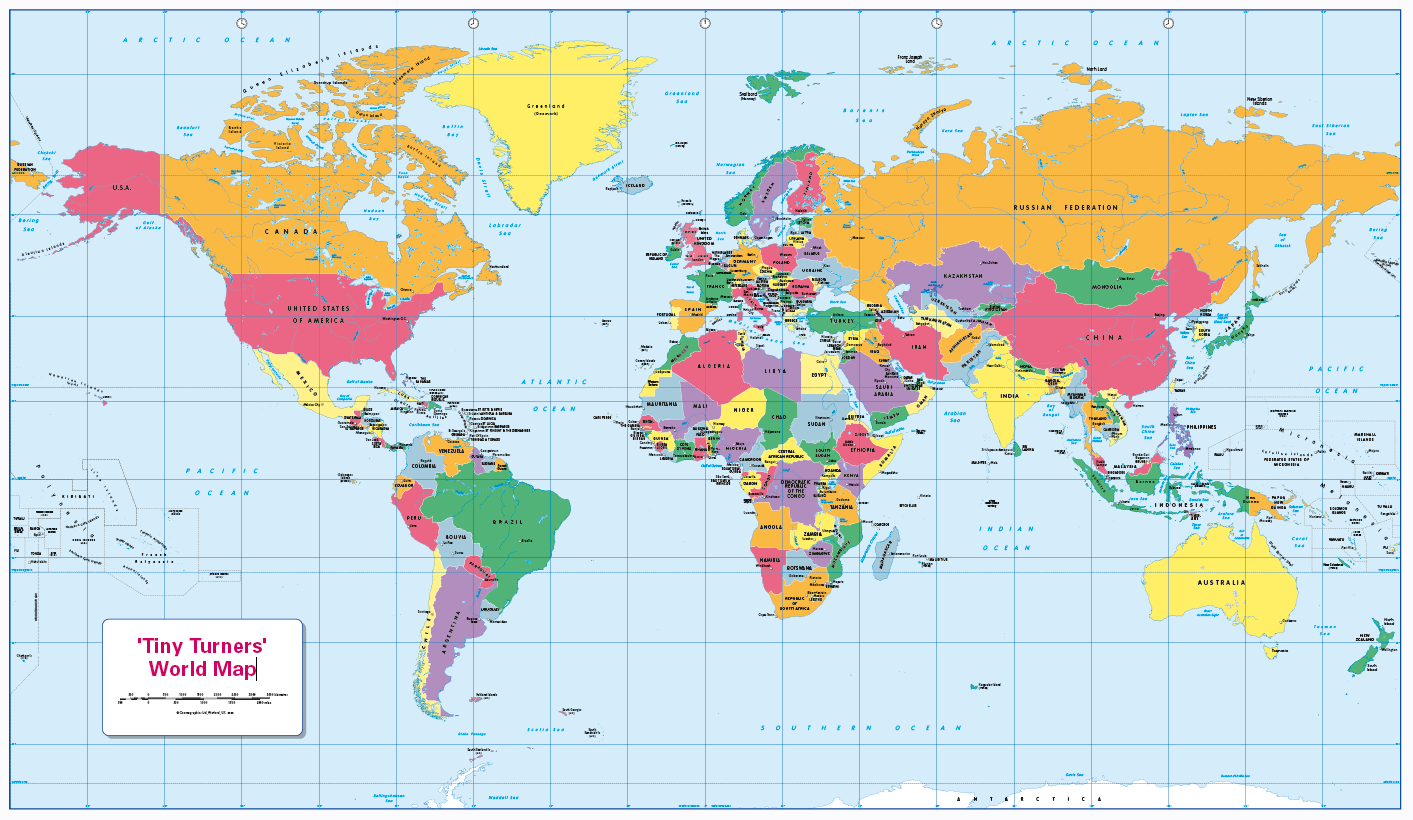
Personalised World Countries and Capitals map
$ 33.16
Description Personalise this easy to read politically coloured World map. Teach or learn about our world with this colourful, easy to read children’s world map showing countries and their capitals. The map also includes major rivers and lakes and the International date-line. Makes a great gift or map for the home. Printed on paper or canvas and can be laminated and mounted. Free pack of stickers (12 colours, 8 of each) with every laminated print. Contact us for encapsulated or framed canvas prints. Scale 1:40 million, size 1020 x 595mm
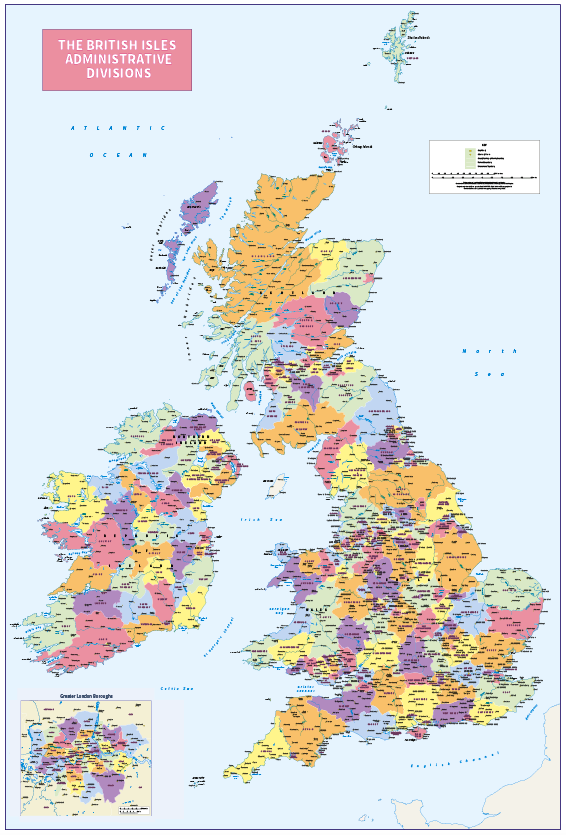 Personalised British Isles Administrative Divisions map
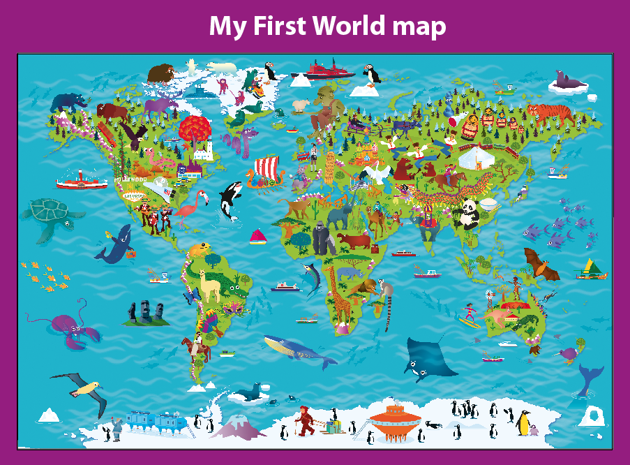 Personalised Children’s Picture World Map
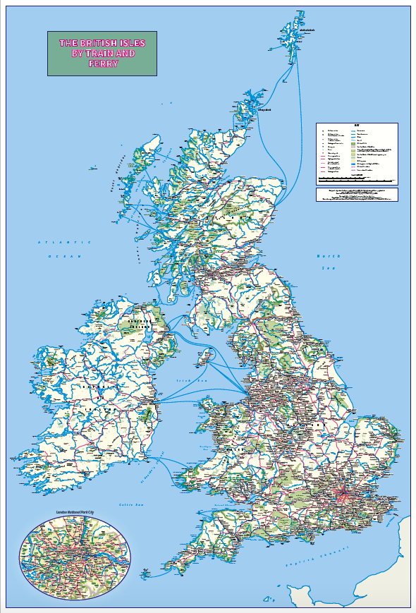 Personalised British Isles by Train and Ferry wall map